Wildfire Smoke on a Road Trip How to Reroute Early
A practical guide to Wildfire Smoke on a Road Trip How to Reroute Early.

Why early rerouting matters more than a smoke mask
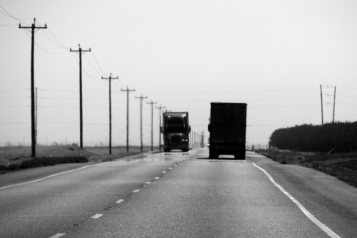
Wildfire smoke can turn a scenic road trip into a health hazard and a logistical tangle in a single afternoon. Unlike a stationary thunderstorm that passes over a fixed point, smoke plumes travel dozens of miles on winds that shift with terrain and time of day. A route that looked clear at breakfast can carry an AQI reading above 200 by lunch, and the highway that bypasses the fire itself may still thread through a plume dense enough to cut visibility and seep into the cabin. Rerouting early means treating smoke as a moving weather system rather than a stationary obstacle, and it relies on a specific set of forecasting and monitoring tools that most navigation apps do not surface by default.
The core challenge is that smoke conditions are shaped by two variables that change independently: fire behavior and atmospheric transport. A fire may grow or stall, and the smoke it produces can be lifted, trapped in a valley, or sheared horizontally depending on the boundary layer. No single map captures both halves of that equation at the resolution a road tripper needs. Building a rerouting workflow therefore means layering a real-time air quality map, a near-term smoke forecast model, and a road-closure feed that reflects the decisions of incident commanders and state highway patrols. The following sections walk through that layering in the order a traveler would use it: from big-picture fire potential before departure to the minute-by-minute checks that matter when a plume crosses the road ahead.
Start with the seven-day fire potential outlook
Before packing, open the National Significant Wildland Fire Potential Outlook published by the National Interagency Fire Center. This map divides the country into Predictive Services areas and assigns each a risk category for the coming week, plus a broader monthly seasonal outlook. It does not show active fires or smoke. Instead, it identifies regions where fuels, drought indices, and forecast weather are aligned to produce new large fires or rapid growth on existing ones. For a road tripper, this is the earliest signal that a planned route crosses a zone where a reroute may become necessary mid-trip.
Treat an elevated or high-risk designation as a prompt to do two things. First, identify the specific National Weather Service forecast offices that cover that stretch of road. Each office issues Red Flag Warnings and Fire Weather Watches for its county warning area, and those products appear on weather.gov when you enter a ZIP code or click a point on the map. A Red Flag Warning means critical fire weather is occurring or imminent within 24 hours; a Fire Weather Watch means it is possible in the next 12 to 72 hours. Neither tells you that a fire exists, but both tell you that any ignition in that zone will likely produce a fast-moving smoke column that can close highways with little notice. Second, note the dates you will transit the high-risk area and plan to check the AirNow Fire and Smoke Map and the NOAA HRRR-Smoke model more frequently as those dates approach.
Layer the real-time smoke picture with the AirNow Fire and Smoke Map
Once you are within 48 hours of entering a region with active fire or elevated risk, the AirNow Fire and Smoke Map becomes the primary situational tool. It is jointly operated by the U.S. Environmental Protection Agency and the U.S. Forest Service and displays three data layers on one canvas: fire locations, smoke plume outlines, and AQI readings from both regulatory-grade monitors and a dense network of low-cost sensors. The sensor network is especially useful along rural highways where a permanent monitor may be hundreds of miles away. A cluster of orange or red sensor dots upwind of your route is actionable even if no official monitor confirms it yet.
Use the map to answer a specific question: is there a plume intersecting your route right now, and if so, what AQI values are being measured inside it? Do not rely on the plume outline alone; the shape is a modeled approximation and may lag behind the actual transport by an hour or more. Cross-check the plume against the nearest sensor readings. If sensors inside the plume show AQI above 150, assume that driving through it will expose everyone in the vehicle to unhealthy particulate levels, and that visibility may drop enough to slow traffic. At that point, the decision is not whether to reroute but where.
Forecast smoke movement with the HRRR-Smoke model
The NOAA High-Resolution Rapid Refresh Smoke Model produces hourly forecasts of near-surface smoke concentration across the continental United States out to 48 hours. It is the closest thing a road tripper has to a smoke-specific weather forecast. The model ingests satellite fire detections and weather data, then simulates how smoke will mix, transport, and deposit hour by hour. The output is a looping animation of surface smoke concentration, typically displayed as a color-coded overlay on a map of the U.S.
This model is most useful for answering a timing question: if a plume is currently west of your route and the wind is forecast to shift easterly overnight, will the plume cover your intended morning drive? Run the loop forward from the current hour and watch the plume’s leading edge. If it is projected to cross your road segment within your travel window, you have a clear signal to adjust your departure time or choose an alternate highway. The model’s skill degrades beyond 24 hours and is less reliable in complex terrain where local drainage winds can override the synoptic flow, so treat the second 24 hours as a trend indicator rather than a precise boundary. In mountain corridors, pair the HRRR loop with the National Weather Service point forecast for the pass or valley you plan to cross; the text forecast often includes smoke-specific language when a plume is expected to settle overnight.
Check road closures on InciWeb and state DOT maps
A smoke plume can make driving unpleasant or unhealthy, but a road closure stops you outright. Wildfire-related highway closures come from two directions: the incident management team closes roads inside or adjacent to the fire perimeter for firefighter safety, and the state department of transportation closes roads because of smoke, falling debris, or active flame near the right-of-way. You need to check both sources because they do not always update simultaneously.
InciWeb, managed by the National Wildfire Coordinating Group, is the federal all-risk incident information system. Find the incident page for any fire near your route and look for the closures section, which typically includes a map of the fire perimeter with road statuses overlaid, plus a text list of evacuation orders. This is the authoritative source for closures ordered by the incident command. Separately, open the state DOT map for each state on your route. California’s QuickMap is one example; every state contributes its data to the U.S. Department of Transportation’s 511 system, which provides a single portal to check closures by state or route number. If InciWeb shows a closure but the DOT map does not, trust InciWeb for the fire zone and call the DOT’s 511 line for confirmation. If the DOT map shows a closure with no corresponding InciWeb entry, the closure is likely due to smoke or a secondary hazard rather than the fire perimeter itself, and it may lift quickly when the plume shifts.
Use navigation apps as a confirmation layer, not a primary source
Google Maps and Apple Maps both integrate real-time wildfire boundary data from authoritative sources and display active fire perimeters and road closures directly on the navigation map when a route passes near an incident. This is a valuable safety net, especially when a fire starts after you have already begun driving and you need an alert without actively monitoring multiple websites. The limitation is that the wildfire layer shows the fire perimeter, not the smoke plume, and a route that skirts the perimeter cleanly may still pass through heavy smoke downwind.
Use the navigation app’s wildfire layer to confirm that your chosen alternate route does not clip a fire perimeter you missed on InciWeb. Then return to the AirNow Fire and Smoke Map and the HRRR loop to verify that the alternate route is not simply trading the fire edge for a dense smoke plume. If the app suggests a detour, evaluate it against the same smoke and closure sources you used for the original route. Do not assume the suggested detour is smoke-free just because it avoids the fire icon.
Set up alerts that follow the fire, not just your location
A phone that only alerts you when you drive into a warning polygon is too slow. By the time a location-based alert fires, you may already be in the plume or approaching a roadblock with no turnaround. The American Red Cross Emergency App delivers location-based alerts for wildfires, evacuation notices, and shelter locations, and it includes a feature that lets you notify contacts when you have exited an affected area. The FEMA app provides real-time alerts from the National Weather Service, locations of open emergency shelters, and disaster assistance information for areas under evacuation orders. Both apps can be configured to monitor multiple locations, which is essential for a road trip: set alerts for your current location, your next overnight stop, and the midpoint of the day’s drive.
Pair these with manual checks of the National Weather Service local forecast office pages for each segment of your route. Enter the ZIP code or click the map point for the pass, valley, or town where you plan to stop. Look for active Red Flag Warnings, Fire Weather Watches, and any Smoke Advisory that describes visibility or air quality impacts. These text products are updated by meteorologists who are watching the same HRRR model output and ground-truth reports you are, and they distill the forecast into plain-language timing and impact statements that are easier to act on than raw model loops.
Build a rerouting sequence you can execute in five minutes
The goal of layering these tools is to reach a decision quickly when conditions change. A practical rerouting sequence looks like this. First, open the AirNow Fire and Smoke Map and locate the plume relative to your route. If the plume is on the road or within a few miles upwind, note the AQI readings inside it. Second, open the HRRR-Smoke loop and run it forward through your expected travel window. If the plume is forecast to remain on the route or intensify, proceed to reroute. Third, open InciWeb and the relevant state DOT 511 map to identify which alternate highways are open and outside any evacuation zone. Fourth, test the candidate alternate route against the AirNow map and HRRR loop to confirm it is not simply entering the same plume from a different angle. Fifth, enable navigation on the alternate route and keep the Red Cross or FEMA app active for alerts as you drive.
This sequence depends on having connectivity at the decision point. In remote areas where cellular data is unreliable, download the HRRR loop and the state DOT closure map before losing signal. The AirNow Fire and Smoke Map and InciWeb incident pages can also be loaded in advance and left open in a browser tab; they will not refresh without a connection, but the last known state is better than no information. If you cannot verify conditions ahead, the safest choice is to stop at the last town with confirmed good air quality and wait until you can check again.
Sources and verification
- rapidrefresh.noaa.gov — Research source checked for this guide
- predictiveservices.nifc.gov — Research source checked for this guide
- fhwa.dot.gov — Research source checked for this guide
- redcross.org — Research source checked for this guide
- blog.google — Research source checked for this guide
- fema.gov — Research source checked for this guide
Read next
-

 New York
How the major regions of New York State compare for a weekend road trip, sorted by drive time and season.
-
 Massachusetts
Two-night Massachusetts road trip routes from Boston or New York, covering coast, city, and the Berkshires.
-
 Maine
The southern Maine coast lures weekenders with lighthouses and lobster, but the drive from New York City is longer than the map suggests.
-
 A Pacific Northwest Road Trip With Fewer One Night Stops
A practical guide to A Pacific Northwest Road Trip With Fewer One Night Stops.
-
 Offline Navigation for American Road Trips Maps Apps and Backups
A practical guide to Offline Navigation for American Road Trips Maps Apps and Backups.
-
 Northeast Weekend Trips You Can Actually Drive in Two Days
Plan a Northeast weekend road trip with honest drive times from New York City or Boston, seasonal windows that shift year to year, and the legal status of every abandoned site.
-
 Weekends Away on the East Coast Without the Children in Tow
A two-day East Coast weekend with friends and no children, built around drive times from New York City and Boston and the logistics nobody writes down.
-
 Taking a Weekend Off and the Logistics Nobody Writes Down
A mom weekend away on the East Coast, planned around the real logistics of leaving a household, with drive times from New York City and Boston.
-
 The Law and the Hazards Before You Go Anywhere Near a Ruin
A plain-language look at trespass law in New York State and the physical hazards of abandoned structures, before you go anywhere near a ruin.